
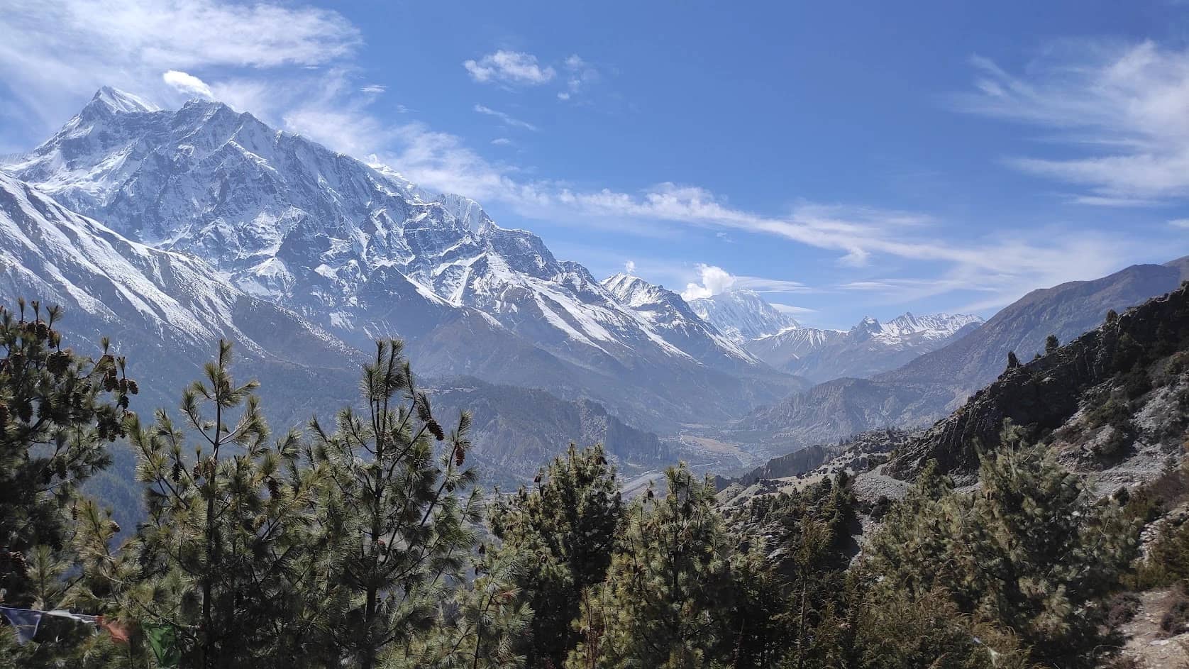
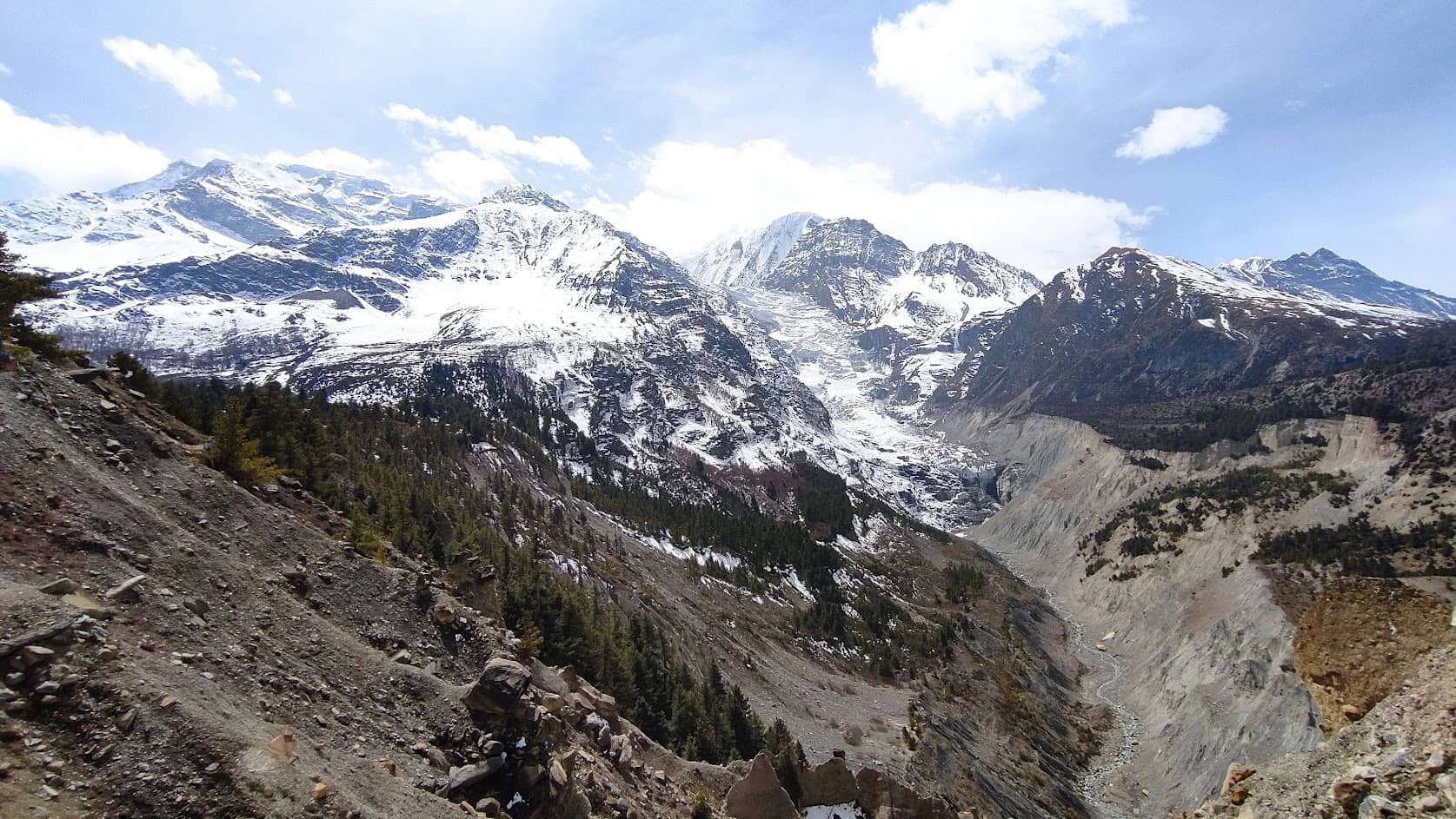
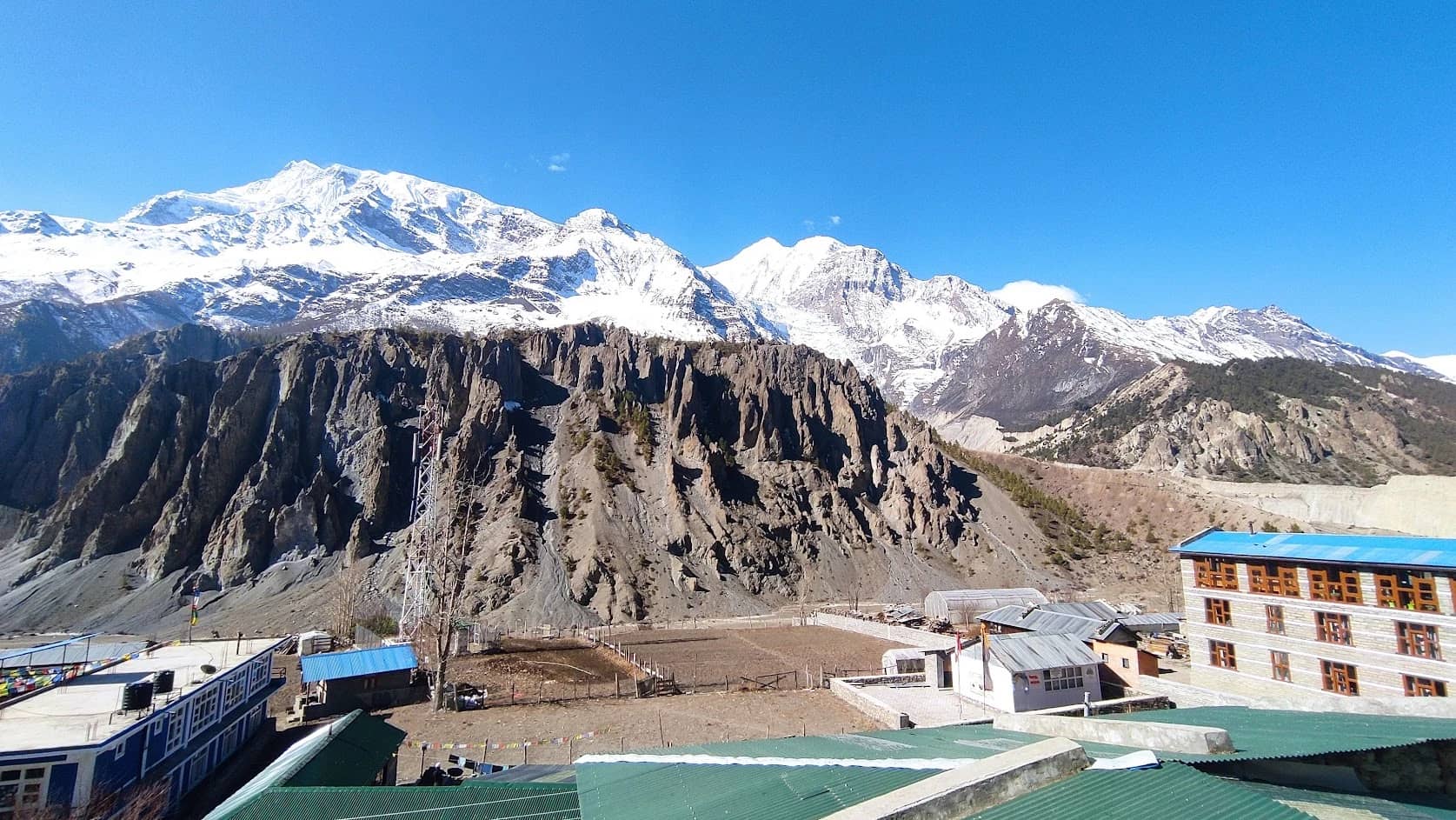
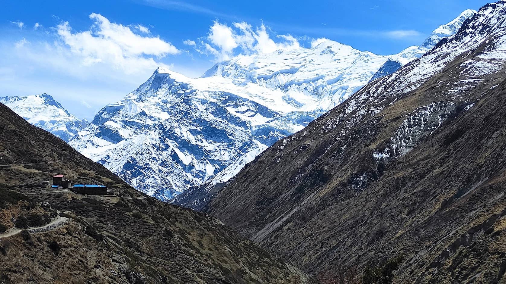
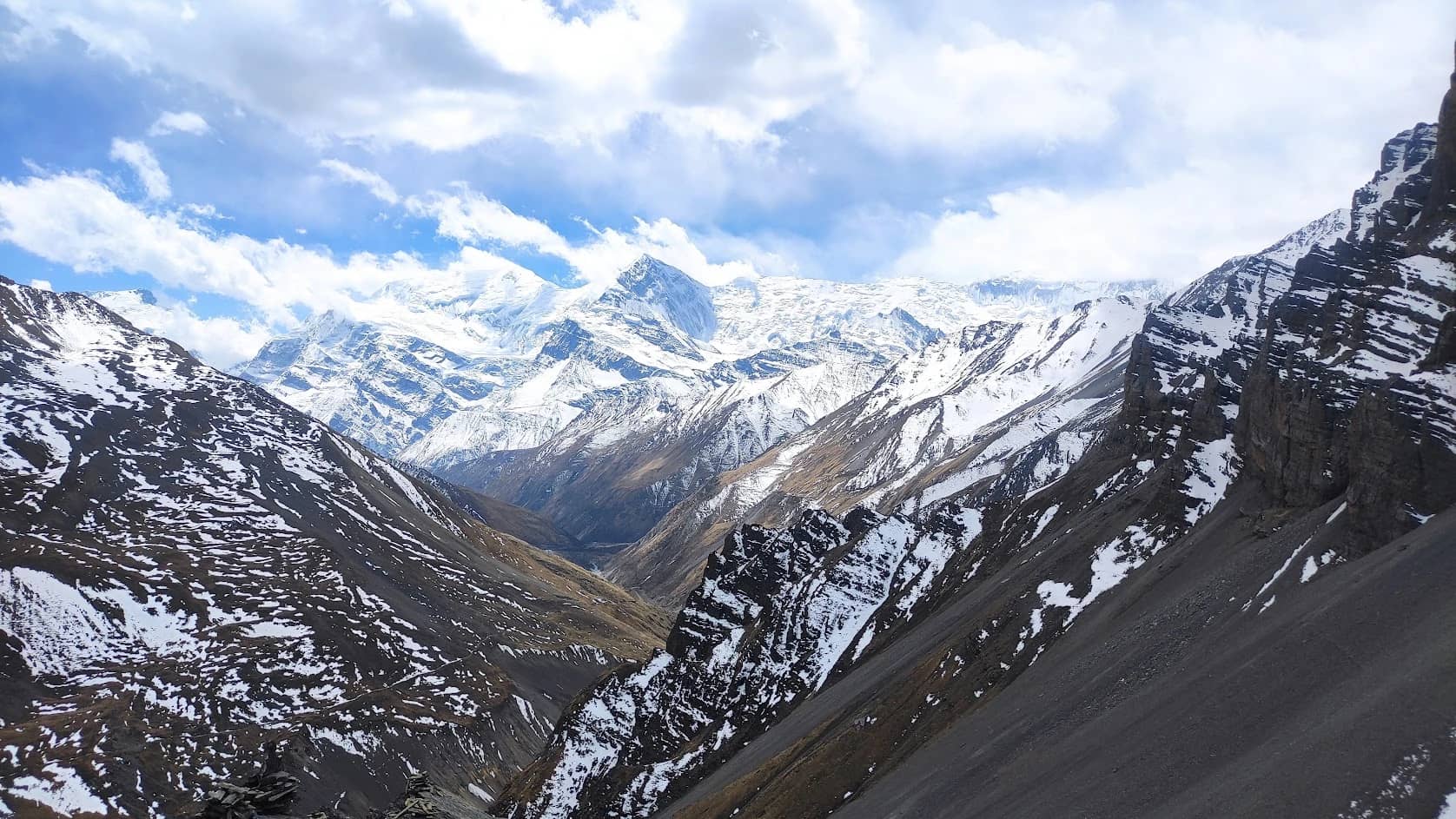
The Annapurna Circuit Classic is one of Nepal’s best-known treks. It loops around most of the Annapurna massif and passes through warm river valleys, terraced farmland, forest, high glacial country, and the dry, windy land of Mustang. This classic version starts with a drive from Kathmandu to Besisahar, then follows the Marsyangdi River up through Tal, Chame, Pisang, and Manang. From there it crosses Thorong La at 5,416m, drops to the pilgrimage site of Muktinath, and continues to Jomsom. The final stretch goes through the lower Annapurna region, taking in the Poon Hill viewpoint and the hot springs at Jhinu Danda before finishing in Pokhara.
The circuit begins around Besisahar and follows the Marsyangdi through the Manang Valley. After Thorong La, it enters Mustang and descends along the Kali Gandaki. Trekkers can then link up with the trails to Tatopani, Ghorepani, Poon Hill, and Chhomrong on the way to Pokhara.
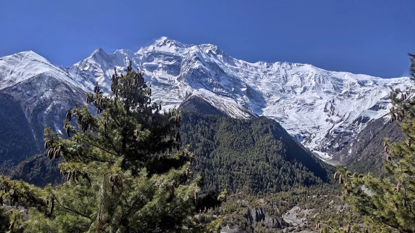
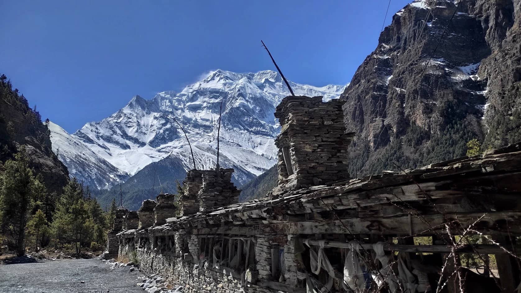
The scenery changes a lot. The lower sections have waterfalls, farmland, and green forests. Around Manang you’re surrounded by big rock walls and snow peaks. Beyond Thorong La the land opens into the dry valleys of Mustang. Back in the foothills there are flowering forests, old farming villages, and lookouts, a long way from the high mountain sections.
The trek covers a wide range of Nepal’s landscapes and cultures: the climb to Thorong La, the quiet at Muktinath, and the sunrise from Poon Hill. It suits people who want a full trek and a closer look at the Annapurna region.
Main highlights
Cross Thorong La (5,416m), the high point of the circuit.
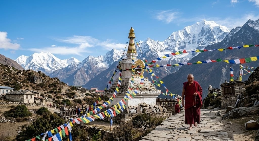
Spend time in Manang, a traditional Himalayan village below steep mountain walls.
See the Annapurna and Dhaulagiri ranges.
Walk the Marsyangdi Valley past rivers, waterfalls, forests, and mountain villages.
Compare the architecture and culture of Pisang, Manang, and Mustang.
Visit Muktinath, a pilgrimage site for both Hindus and Buddhists.
Cross the dry, rugged country around Jomsom.
Watch the sunrise from Poon Hill (about 3,210 m).
Walk through the green hills and rhododendron forests of the lower Annapurna region.
Soak in the hot springs at Jhinu Danda, depending on the final route and schedule.
Trekking route
Kathmandu → Besisahar → Tal → Chame → Lower Pisang → Manang → Yak Kharka → Thorong Phedi → Thorong La Pass → Muktinath → Jomsom → Tatopani → Ghorepani → Poon Hill → Tadapani → Chhomrong → Jhinu Danda → Pokhara → Kathmandu
The trek starts with a road trip from Kathmandu to Besisahar, then heads up the Marsyangdi Valley. The trail climbs slowly through Tal, Chame, Lower Pisang, and Manang to Thorong Phedi, the base for the pass. Most trekkers leave Thorong Phedi before dawn to cross Thorong La. After the pass, the trail drops to Muktinath and Jomsom, where road transport can take you on to Tatopani and the lower Annapurna trails. The Poon Hill and Jhinu Danda extension adds forest paths, villages, and viewpoints and gives you a slower finish before you return to Pokhara.
Mountains you’ll see
Which peaks you see depends on the route, the weather and where you’re standing.
Annapurna I (8,091m): The tenth-highest mountain in the world and the highest in the Annapurna massif. A French expedition climbed it in 1950, the first 8,000-meter peak ever summited.
Annapurna II (7,937m): A steep-walled peak with a long ridgeline, best seen from the upper Marsyangdi Valley.
Annapurna III (7,555 m): A rocky, heavily ridged summit in the central part of the massif.
Annapurna IV (7,525 m): Sits next to Annapurna II and appears on the skyline from some sections of the circuit.
Gangapurna (7,455 m): Rises right above Manang. Its glacier and the small lake below it are easy to spot from the village.
Tilicho Peak (7,134 m): Stands near Tilicho Lake, west of Manang.
Dhaulagiri I (8,167 m): The seventh-highest mountain in the world. You can see it to the west from Mustang and from Poon Hill on a clear day.
Machhapuchhre, or Fishtail (6,993 m): Named for its split twin summit. It’s one of the easiest peaks to recognize from the lower Annapurna region. Climbing it is not permitted.
Trek facts
The circuit goes around much of the Annapurna massif and links the Manang region with Mustang.
Thorong La, at about 5,416m, is the highest point on this itinerary.
The route runs from green river valleys through high alpine terrain to the dry trans-Himalayan landscape.
Manang is the main acclimatization stop before Thorong Phedi and the pass.
Muktinath is sacred to both Hindu and Buddhist pilgrims.
The Kali Gandaki Valley has a deep gorge between the Annapurna and Dhaulagiri ranges.
Poon Hill, at about 3,210 m, is a popular sunrise viewpoint.
The hot springs at Jhinu Danda are a well-known stop on the lower trails.
Roads now reach parts of the traditional circuit, so how far you walk depends on where you take transport.
The Annapurna Conservation Area protects the mountain habitats along most of the route.
Why trek the Annapurna Circuit?
Few Nepal treks cover as much ground in a single trip. You start in lush river valleys and traditional villages, climb into the high country around Manang, cross Thorong La, and come down into the drier landscape of Mustang. Along the way you pass Buddhist monasteries, pilgrimage sites, and mountain villages, with the Annapurna and Dhaulagiri ranges in view. The Poon Hill and Jhinu Danda section extends the trip into the green foothills, with forest walks, a sunrise viewpoint, and hot springs at the end.
Best season to trek
March to May and September to November are the best seasons. Conditions are generally good and the views are best, though the weather at Thorong La can turn quickly in any season.
Spring (March to May): The lower valleys are mild, the rhododendron forests are in bloom, and clear days give strong mountain views. Snow can still sit on Thorong La early in the season, so check trail and weather reports before you go.
Autumn (September to November): The skies are often clearer after the monsoon, and the views can be excellent. It gets cold at higher elevations, especially in the early morning and overnight near Thorong Phedi.
Winter (December to February): Expect very cold temperatures and possible heavy snow around Thorong La. In severe weather the crossing can become unsafe or impossible, so you’ll need to plan flexibly.
Monsoon (June to August): The lower valleys get heavy rain, slippery trails, landslides, and transport delays. The northern rain-shadow areas are drier, but the route as a whole still needs careful weather planning.