
This is a 17-day trek in north-central Nepal. It follows the classic Annapurna Circuit up the Marsyangdi Valley and through Manang, adds a side trip to Tilicho Lake, then crosses Thorong La Pass. From the pass you walk down to Muktinath, a pilgrimage site, and finish in the Kali Gandaki Valley.
The trip starts with a drive from Kathmandu to Jagat. The route follows the Marsyangdi River through Dharapani, Chame, Upper Pisang and Manang, then branches toward Khangsar and Tilicho Lake. Back on the main circuit, you cross Thorong La, descend to Muktinath and Jomsom, and fly to Pokhara before returning to Kathmandu.
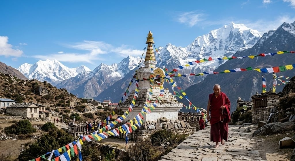
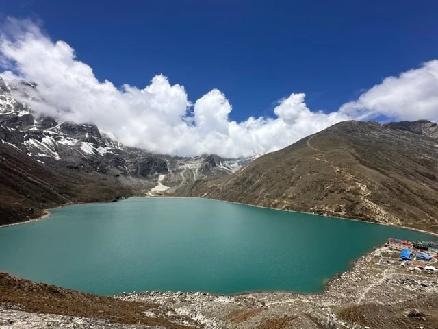
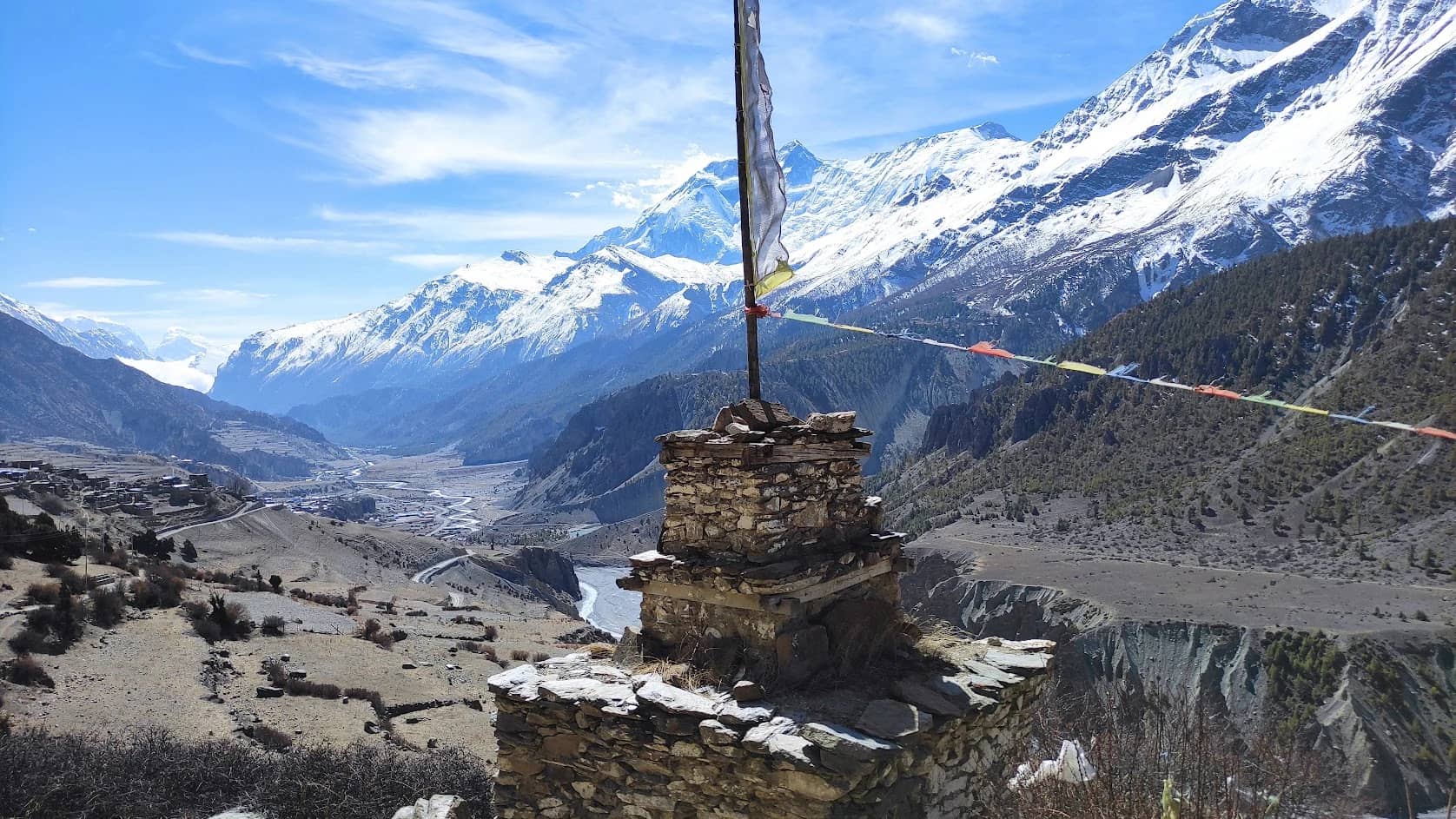
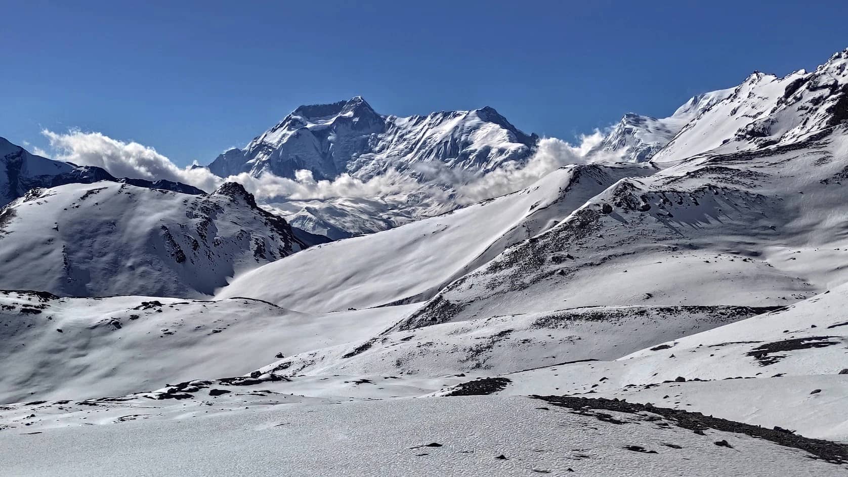
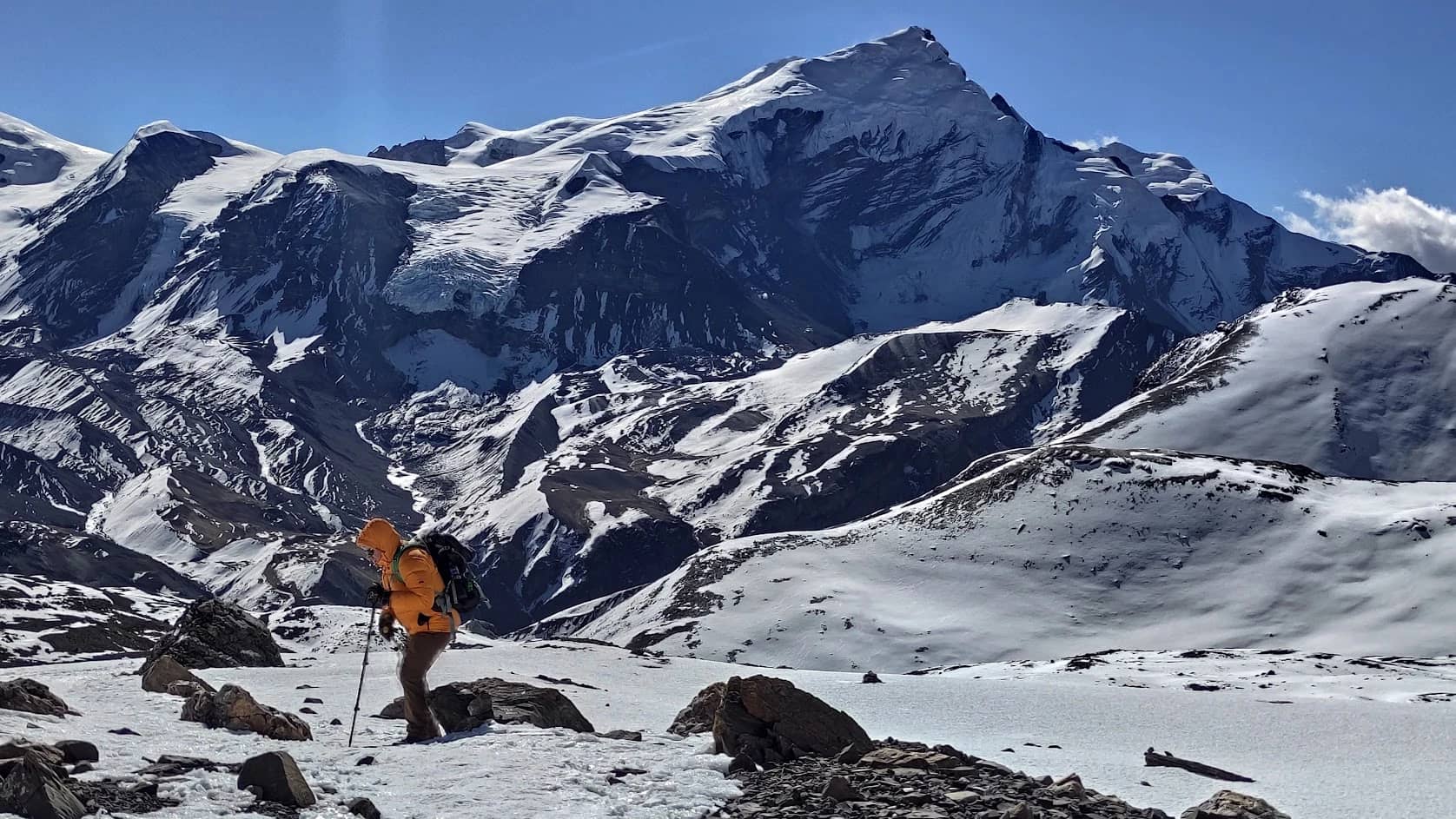
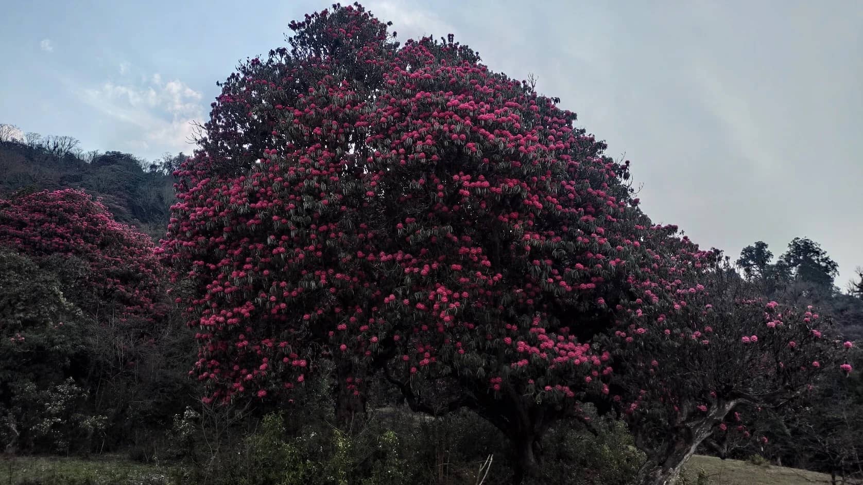
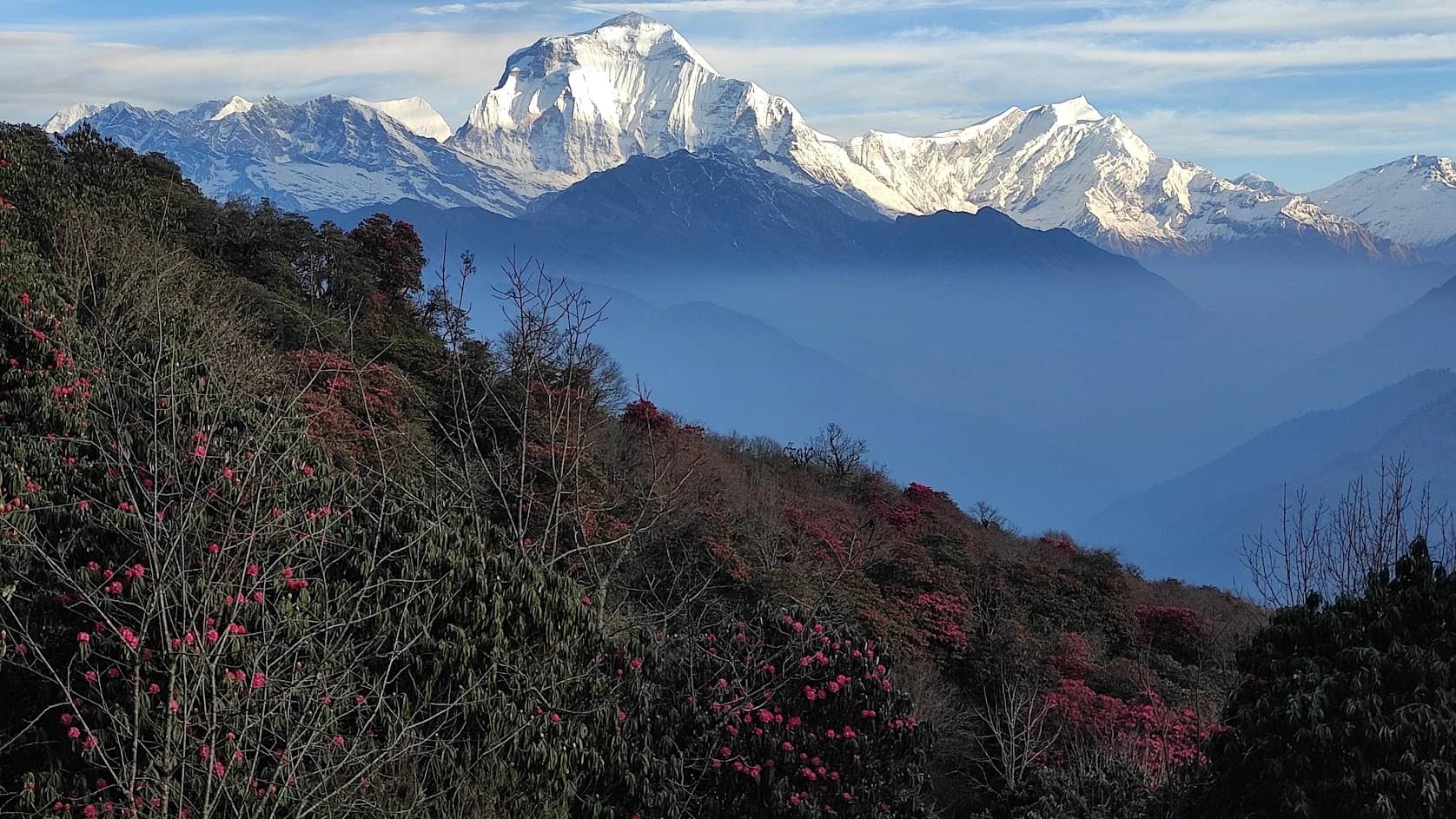
The scenery changes a lot along the way. The lower valley is green, with waterfalls, terraced fields and pine forest. Higher up come cliffs and alpine terrain, and past Manang the land turns dry and bare, with glaciers and long views across the Himalayas. Tilicho Lake sits in a basin beneath Tilicho Peak, and the trail to Thorong La runs through the same high, arid country.
The Tilicho extension makes this trek longer and harder than the standard circuit. It suits people who want more time in the mountains and an equal share of culture and scenery. You’ll need good fitness, proper acclimatization and a schedule with some slack, because weather can change the plan.
Main highlights
The classic Annapurna Circuit, one of Nepal’s great long-distance treks
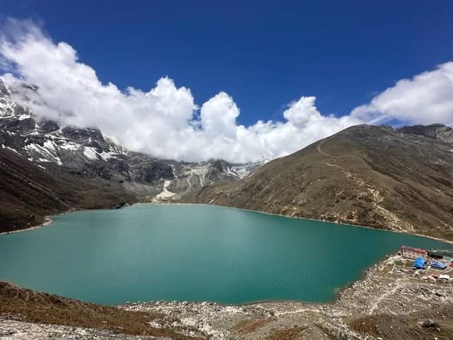
Tilicho Lake at about 4,919m.
Thorong La Pass at 5,416m, the highest point of the trek
Views of the Annapurna range, Gangapurna and Tilicho Peak
Villages including Jagat, Dharapani, Chame, Manang and Khangsar
The change from the green Marsyangdi Valley to the dry terrain around Mustang
A rest day in Manang to acclimatize
Muktinath, a pilgrimage site for both Hindus and Buddhists
Jharkot and Kagbeni, old villages in the Kali Gandaki region
Trekking route
Kathmandu → Jagat → Dharapani → Chame → Upper Pisang → Manang → Khangsar → Tilicho Base Camp → Tilicho Lake → Yak Kharka → Thorong Phedi → Thorong La Pass → Muktinath → Jomsom → Pokhara → Kathmandu
You drive from Kathmandu to Jagat, then walk gradually up the Marsyangdi Valley. After Chame the trail climbs to Upper Pisang and Manang, where you spend a day acclimatizing before the side trip to Tilicho Lake. From the lake you head back toward Yak Kharka and Thorong Phedi, cross Thorong La into Mustang, and walk down through Muktinath and Kagbeni to Jomsom. A flight to Pokhara and a trip back to Kathmandu finish the journey.
Mountains you’ll see
What you can see depends on the weather and where you are on the trail.
Annapurna I (8,091m): The highest peak in the Annapurna massif and one of the tallest mountains in the world.
Annapurna II (7,937m): A big peak in the eastern part of the range, with steep ridges and snow slopes.
Annapurna III (7,555m): Rises above the Manang area, with rock faces and glaciers. Parts of the upper trail give good views of it.
Annapurna IV (7,525m): Another peak in the massif, with a rugged, angular profile.
Gangapurna (7,455m): Stands right above Manang, steep and covered in ice. Gangapurna Lake below it is a popular acclimatization hike.
Tilicho Peak (7,134m): Towers over the lake basin, surrounded by cliffs, loose rock and snow. For many trekkers this is the most memorable stretch of the trip.
Pisang Peak (6,091m): Sits close to Pisang village, with a rough, rocky summit.
Chulu East (about 6,584m): One of the Chulu peaks north of the main Annapurna range, visible around Manang and the upper circuit.
Trek facts
The trek has two big altitude milestones: Tilicho Lake at about 4,919m and Thorong La at 5,416m. Along the way the landscape goes from river valleys and forest to dry, high terrain with a trans-Himalayan feel.
The Tilicho side trip leaves the main circuit near Manang and follows the quieter Khangsar Valley. Parts of the trail toward Tilicho Base Camp are narrow and exposed, with loose rock and a risk of rockfall, so it takes care and steady footing. Thorong La links the Manang side of the circuit with the Muktinath side. Communities along the route differ in their traditions, architecture and religious practice. Snow, strong winds, road conditions and flight delays can all disrupt the schedule, especially at higher elevations.
Why trek the Annapurna Circuit with Tilicho Lake?
If you want more than the standard circuit, the Tilicho extension is the reason. You get the usual shifting landscapes and village culture, plus a side trip to one of the region’s highest lakes, and then the Thorong La crossing on top of that. Along the way you pass traditional villages, Buddhist cultural sites and some of the biggest peaks in Nepal. It’s a good fit for people who enjoy long, hard days in the mountains.
Best season
The best times are spring (March–May) and autumn (September–November), when conditions are generally more stable. Weather at altitude can still turn quickly.
Spring (March–May). Lower elevations are milder and the days are longer. Forests and hillsides start to green, and mornings are often clear. Snow can linger around Tilicho Lake and Thorong La early in the season, so check conditions before you go.
Autumn (September–November). Skies are usually clearer after the monsoon, and it’s one of the busiest trekking seasons in Nepal. It gets colder as the season goes on, especially around Tilicho Base Camp, Thorong Phedi and the pass.
Winter and monsoon. Winter brings heavy snow and freezing temperatures near the pass and the lake. During the monsoon, the lower sections can see rain, landslides and road closures, and cloud hides the mountains.
Whatever the season, check the weather and trail conditions before heading to Tilicho Lake or Thorong La.