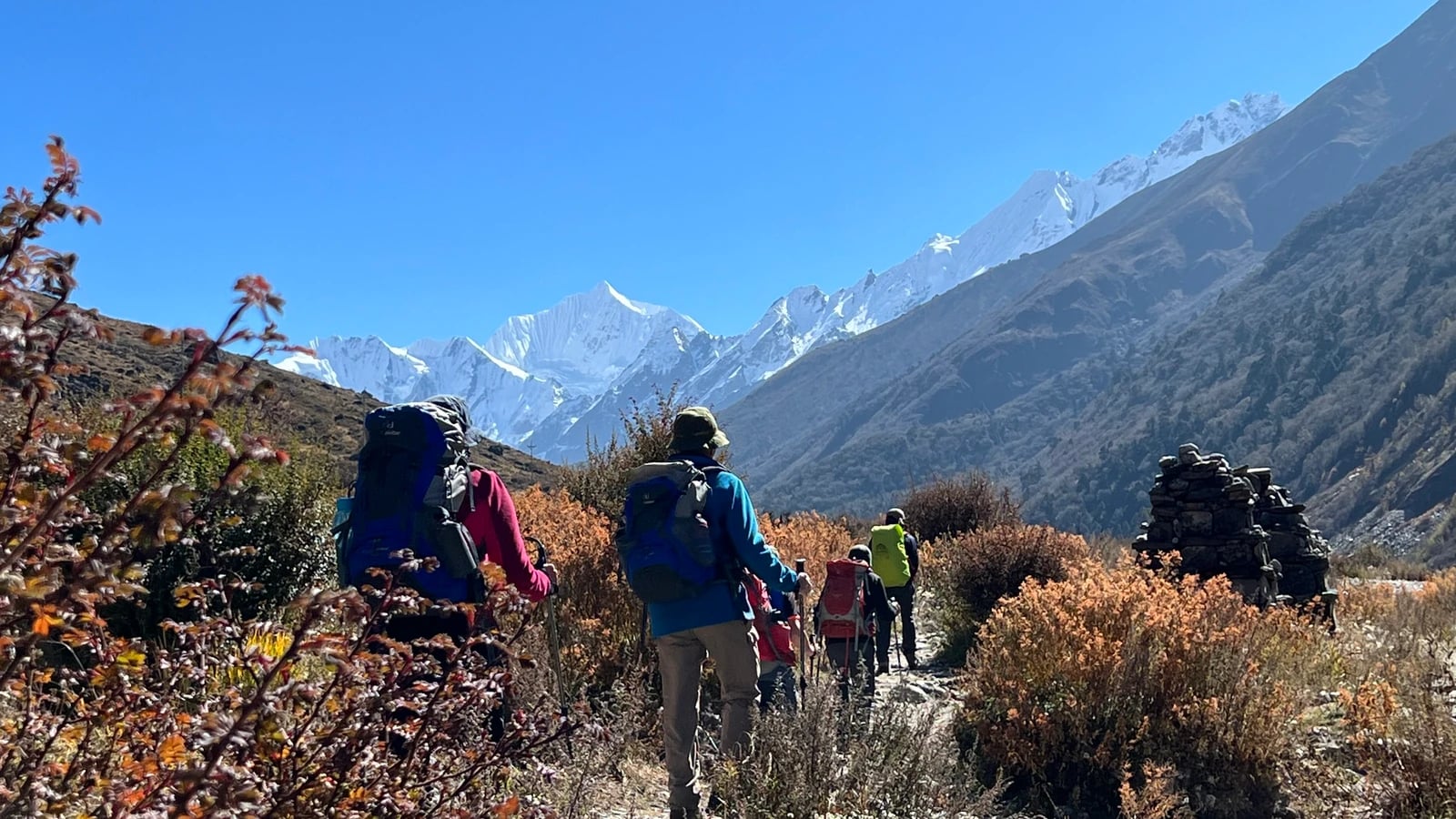
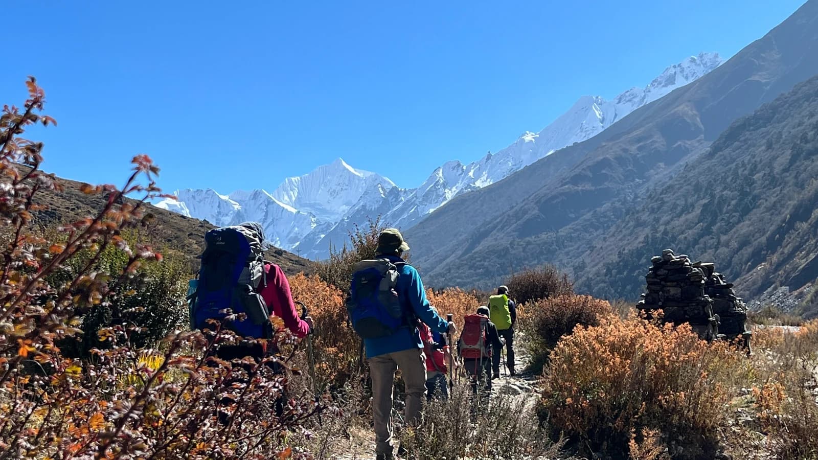
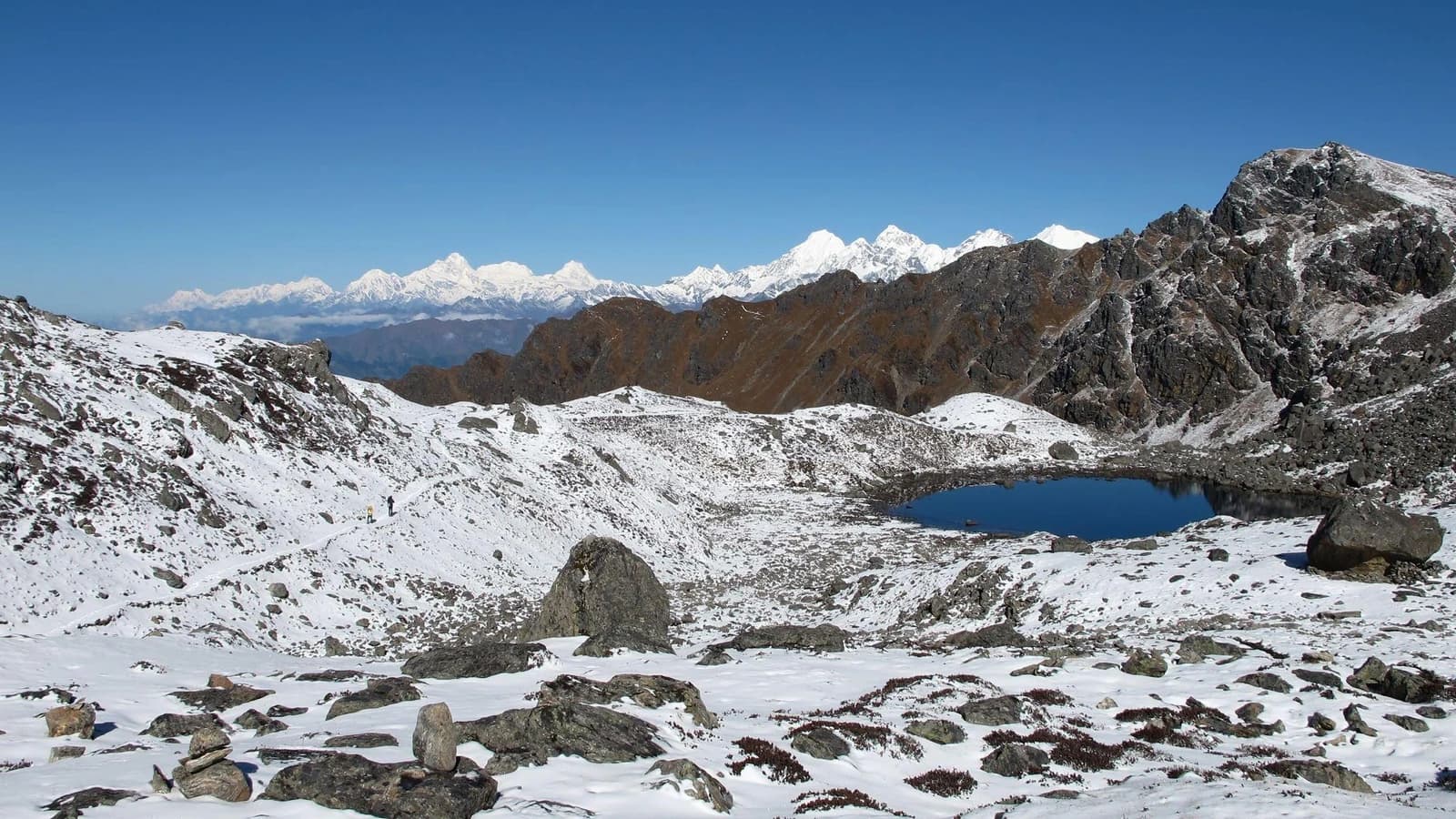
The Langtang Valley Trek is a 10-day, moderate-difficulty teahouse trek that starts and ends in Kathmandu, reaches 3,870 m at Kyanjin Gompa (with an optional side hike to 4,773 m or 5,033 m), and costs USD 379–1099 per person depending on group size in 2026/2027. It's the closest major Himalayan trekking region to Kathmandu—no domestic flight, no long approach—and it's run through Langtang National Park, home to red pandas, Himalayan tahr, and centuries-old Tamang and Tibetan-Buddhist villages rebuilt since the 2015 earthquake.
This page gives you the full package: itinerary, real weather data, an honest cost breakdown by group size, what's included, and what isn't—no padded days, no vague pricing.
Quick Facts of the Trek
Duration | 10 days (8 trekking days + 2 transit/buffer days) |
Max altitude | 3,870 m (Kyanjin Gompa)—4,773 m (Kyanjin Ri) or 5,033 m (Tserko Ri) optional |
Trek grade | Moderate — no technical climbing, 5–7 hours walking/day |
Start / End point | Kathmandu (via Syabrubesi, 122 km, 7–8 hr drive) |
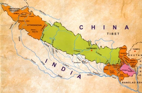
Region | Langtang National Park, Bagmati Province, bordering Tibet |
Accommodation | Teahouses/lodges on trek, hotel in Kathmandu |
Group size | 1–16 people (private and group-join departures) |
Best seasons | March–May (spring) and late September–November (autumn) |
Guide requirement | Mandatory by Nepal government regulation since April 2023 |
Permits needed | Langtang National Park Entry Permit + TIMS Card |
Why This Trek
Closest Himalayan trek to Kathmandu. No domestic flights, no weather-dependent mountain airstrips, and no early-morning flight cancellations that plague Everex/Lukla-based itineraries—you drive in and out.
A living recovery story. Langtang Village was buried by an avalanche triggered by the 2015 earthquake. What you walk through today is a village rebuilt by its own community—the trek directly supports that local economy.
Real solitude. Langtang sees a fraction of the foot traffic of Everest or Annapurna, so lodges are calmer and the trail rarely feels crowded, even in peak season.
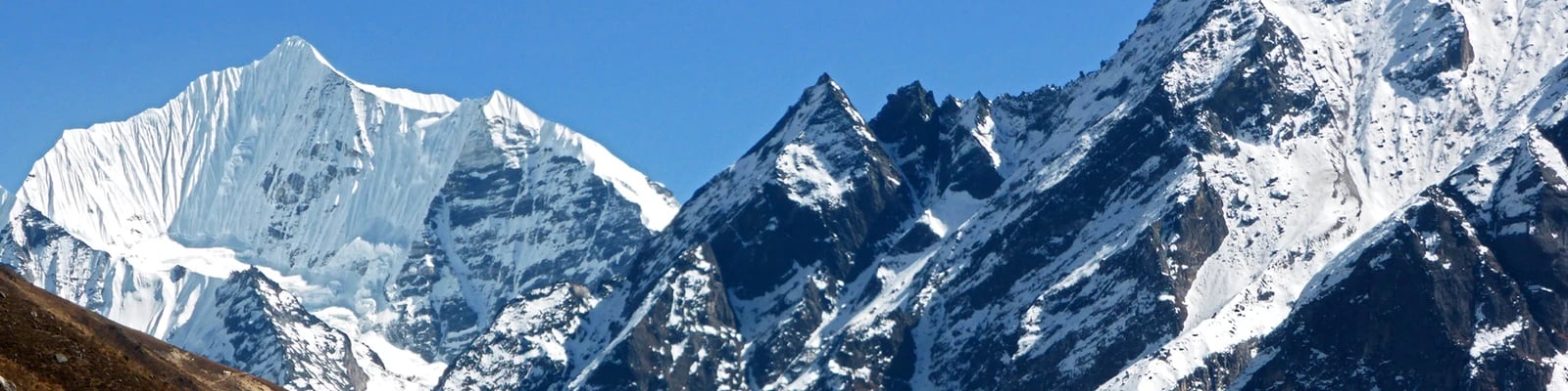
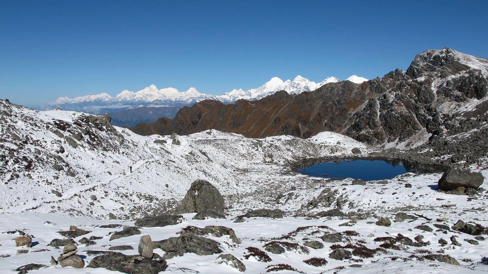
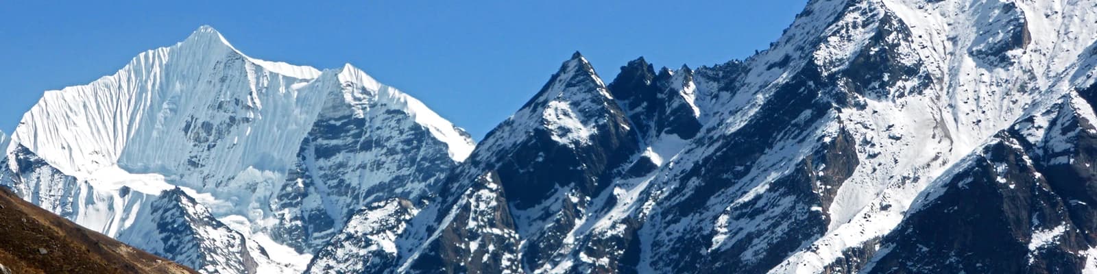
Big mountains, short trip. You're walking directly beneath Langtang Lirung (7,234 m) and within sight of Dorje Lakpa (6,990 m)—glacier and icefall views usually reserved for two-week-plus expeditions.
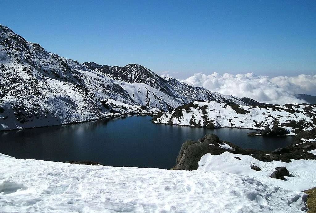
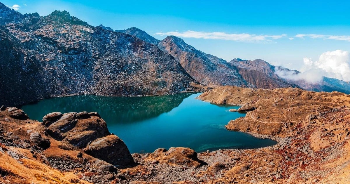
No unnecessary days. Our itinerary is built on the honest walking times the route actually needs—8 trekking days, one acclimatization day—not stretched out to add billable nights. If you want extensions (Gosaikunda, Tamang Heritage Trail, or Yala Peak), we'll tell you plainly whether your fitness and schedule support it, not sell it by default.
Transparent, checkpoint-verified permits. A licensed guide has been a legal requirement in Langtang National Park since April 2023. We include this by default—some listings online still describe guides as "optional," which is outdated and can get you turned back at the Dhunche or Syabrubesi checkpoint.
Trip Highlights
Langtang Lirung (7,234 m) icefall views from Kyanjin Gompa's doorstep
Kyanjin Ri (4,773 m) and Tserko Ri (5,033 m) viewpoints
Local yak cheese factory, running since the 1950s
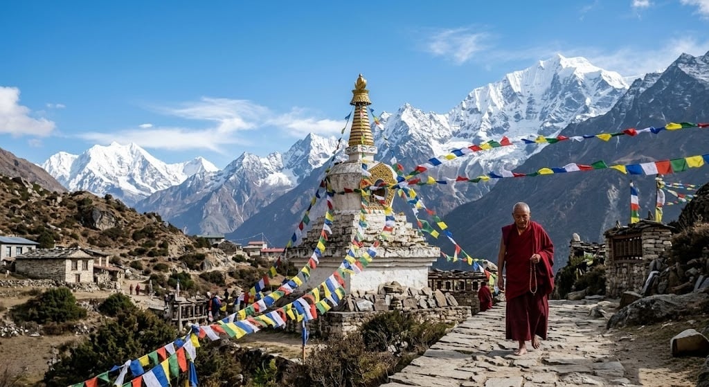
Tamang and Tibetan-Buddhist culture: chortens, mani walls, monasteries
Langtang National Park's forest zone — red panda and langur habitat
A rebuilt village that tells the story of post-2015 resilience
Rhododendron forest in bloom (spring departures)
Best Time to Trek Langtang — Month-by-Month Weather
Figures below are for Kyanjin Gompa (3,870 m), the trek's high point. Lower villages (Lama Hotel, Langtang Village) run roughly 5–10°C warmer at night than these numbers.
Month | Day Temp (°C) | Night Temp (°C) | Conditions | Trekking Rating |
January | 2 to 5 | −12 to −16 | Dry, clear, very cold, occasional snow | Winter specialist only |
February | 4 to 6 | −10 to −14 | Dry, clearing skies, still cold | Winter specialist only |
March | 8 to 12 | −6 to −9 | Transitional, rhododendrons start low down | Good |
April | 10 to 14 | −3 to −6 | Clear, rhododendron bloom peaks | Excellent |
May | 12 to 16 | −1 to −3 | Warm, hazier skies, late-month rain risk | Very good |
June | 15 to 18 | 3 to 5 | Monsoon begins, humid, cloud cover | Off-season |
July | 15 to 18 | 5 to 7 | Peak monsoon, heavy rain, landslide risk on the road | Off-season |
August | 14 to 17 | 4 to 6 | Monsoon continues, lush but wet | Off-season |
September | 12 to 15 | 1 to 3 | Rain tapers by third week, clearing | Good (late month) |
October | 8 to 14 | −3 to −7 | Clearest skies of the year, dry trails | Best of the year |
November | 6 to 10 | −8 to −12 | Very clear, colder, fewer trekkers | Excellent |
December | 3 to 6 | −10 to −14 | Winter sets in, snow above Langtang Village | Winter specialist only |
Bottom line: October and November give the most reliable clear-sky views. April is the best trade-off for trekkers who want warmer nights and rhododendron color over maximum visibility. Avoid June–August unless you specifically want a quiet, green, off-season trek and accept the rain, leeches at lower elevations, and a real (if manageable) landslide risk on the Syabrubesi road.
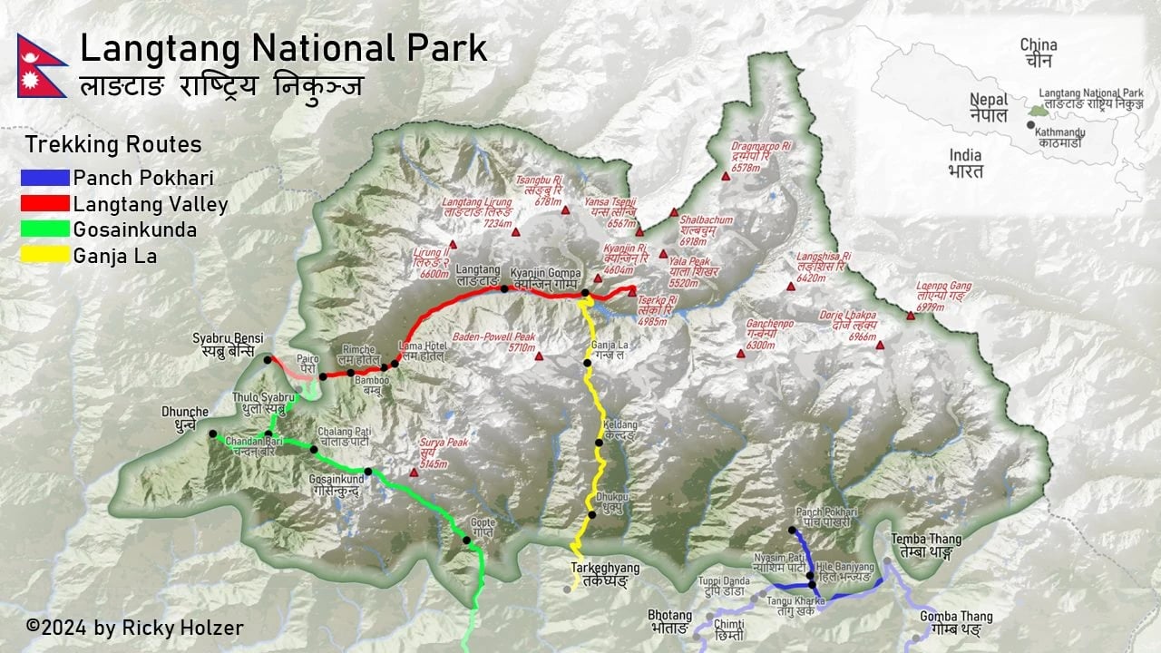
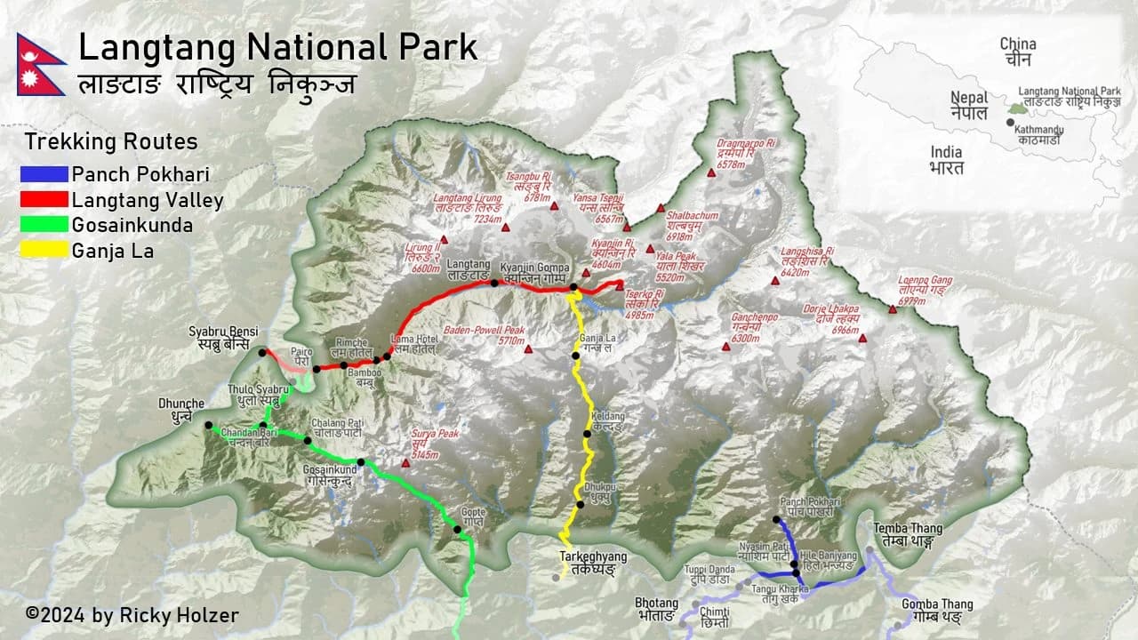
Route Map & Elevation Profile
Kathmandu (1,400 m) → Syabrubesi (1,550 m) → Lama Hotel (2,470 m) → Langtang Village (3,430 m) → Kyanjin Gompa (3,870 m) → [return via same route] → Kathmandu
Total trekking distance: approx. 55–60 km one-way (110–120 km round trip)
Total elevation gain: approx. 2,320 m from Syabrubesi to Kyanjin Gompa
Road distance Kathmandu–Syabrubesi: 122 km
The route is a single, well-marked valley trail with no route-finding difficulty and no high mountain passes—one of the more navigable treks in Nepal, which is part of why it suits first-time Himalayan trekkers as well as repeat visitors short on time.
Trek Difficulty & Fitness
Rated moderate. You'll walk 5–7 hours a day on maintained forest and ridge trails—no scrambling, no exposed passes, and no glacier travel. The real challenge is altitude, not terrain: Kyanjin Gompa sits at 3,870 m, high enough for mild symptoms like headaches or poor sleep in some trekkers. This is exactly why the itinerary keeps Day 5 short and builds in a full acclimatization day on Day 6, rather than rushing you to altitude and adding a "recovery" night later at extra cost. A reasonable base of hiking fitness (able to walk 5–6 hours with a daypack on consecutive days) is enough preparation.