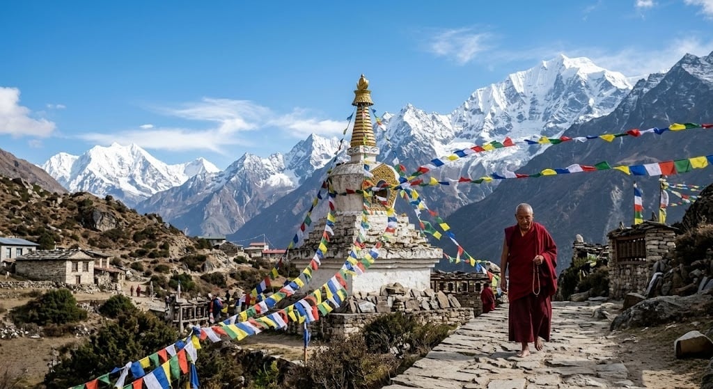
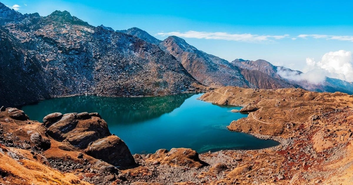
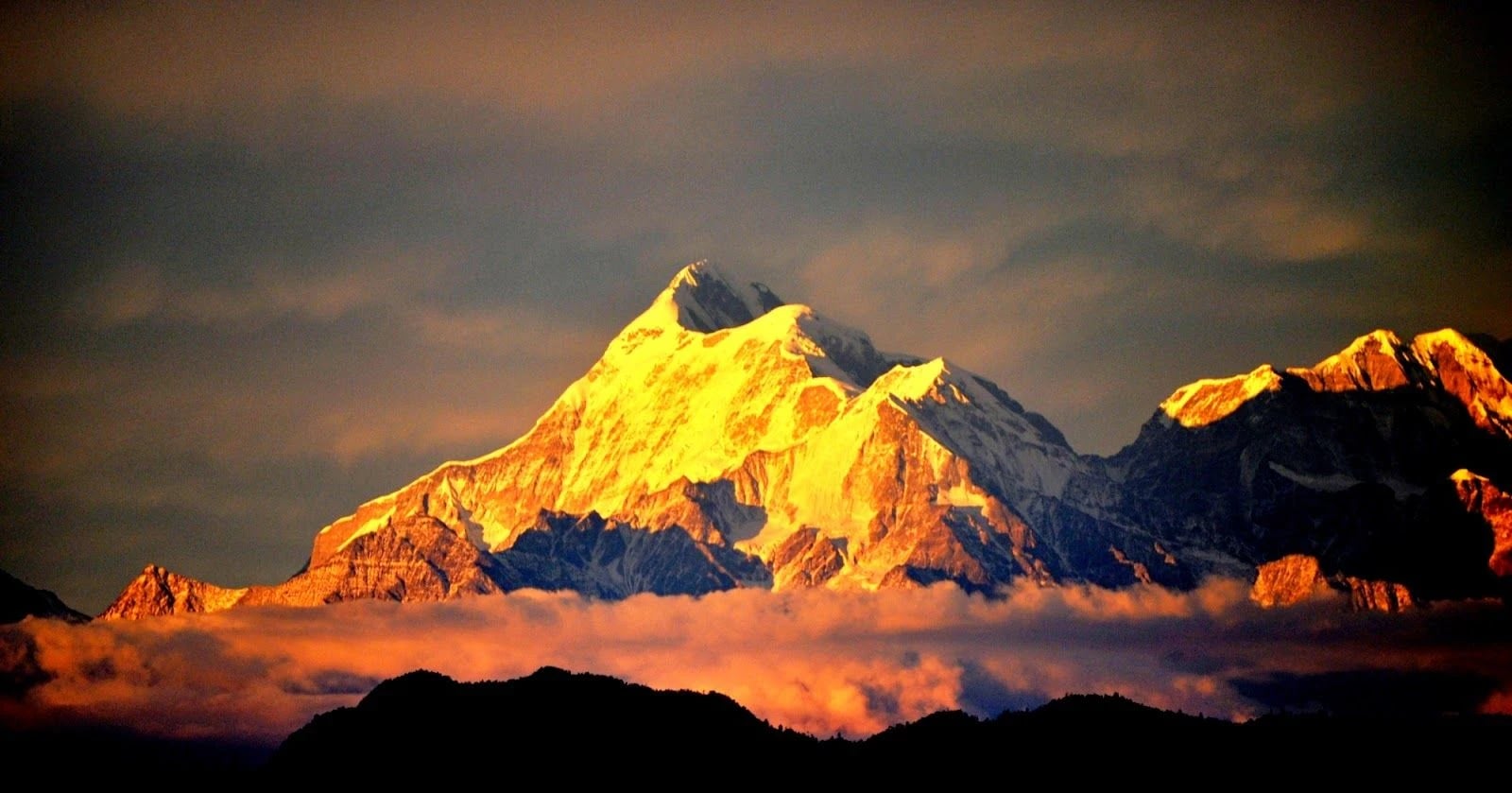
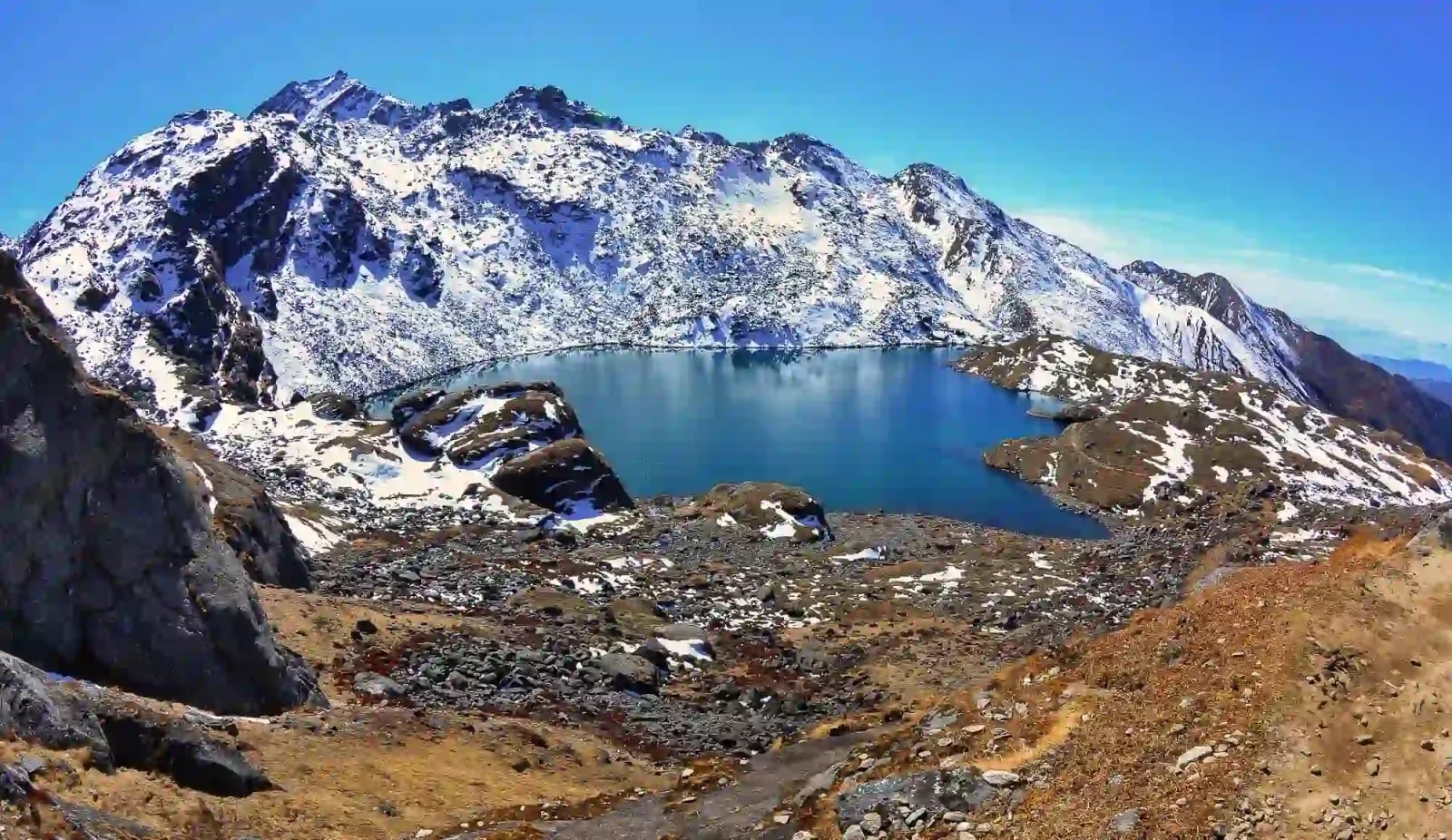
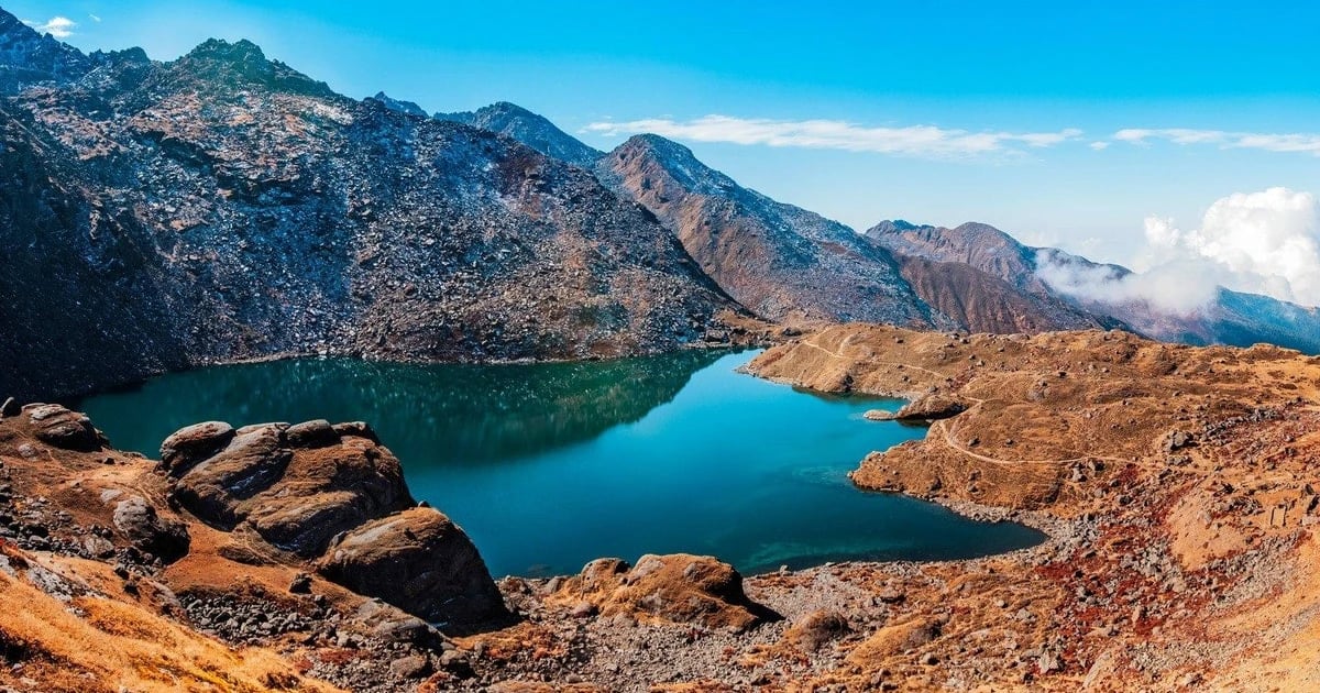
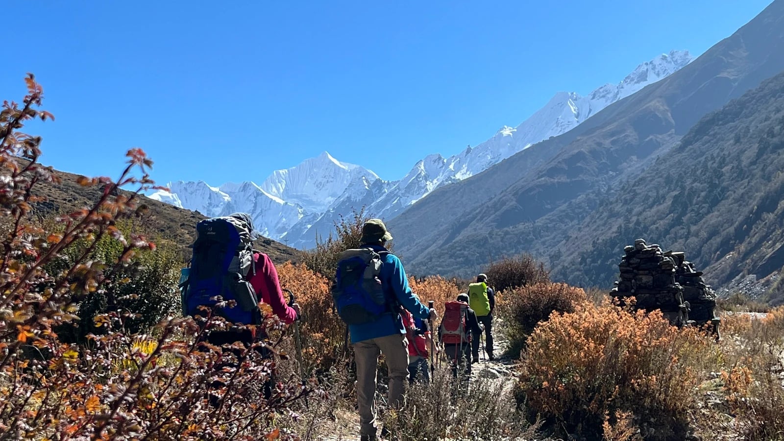
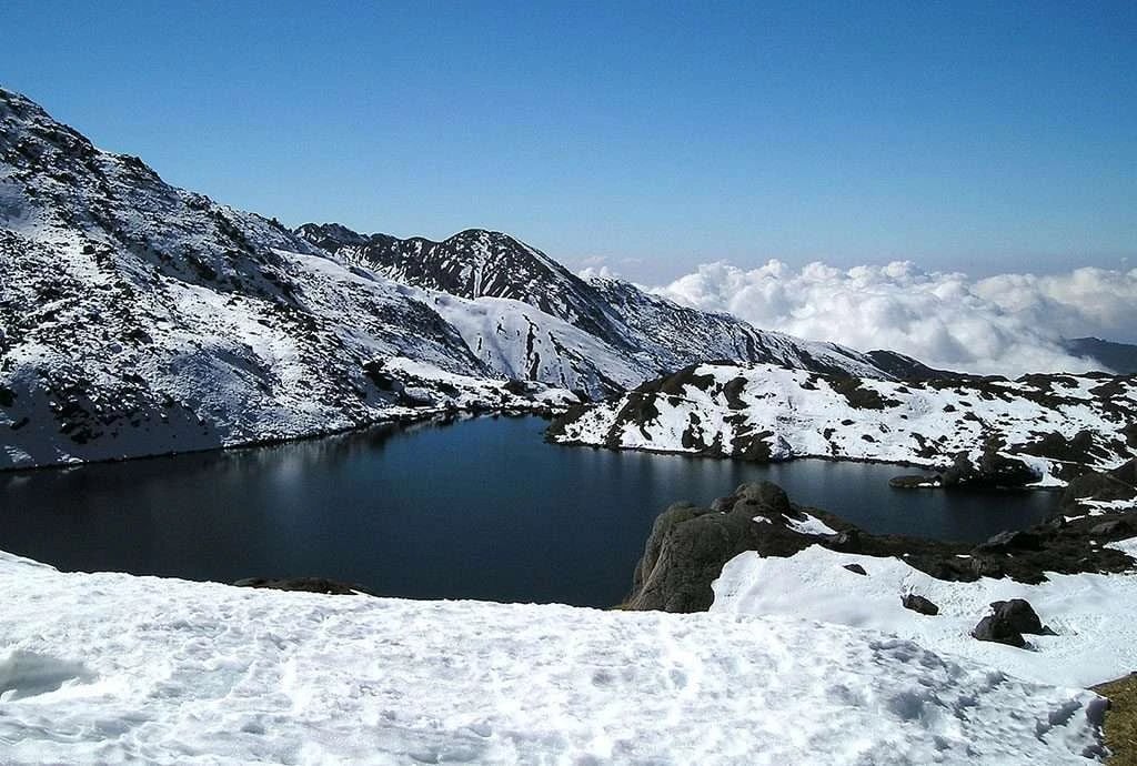
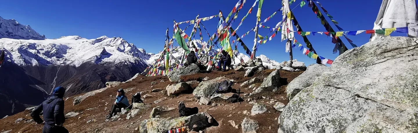
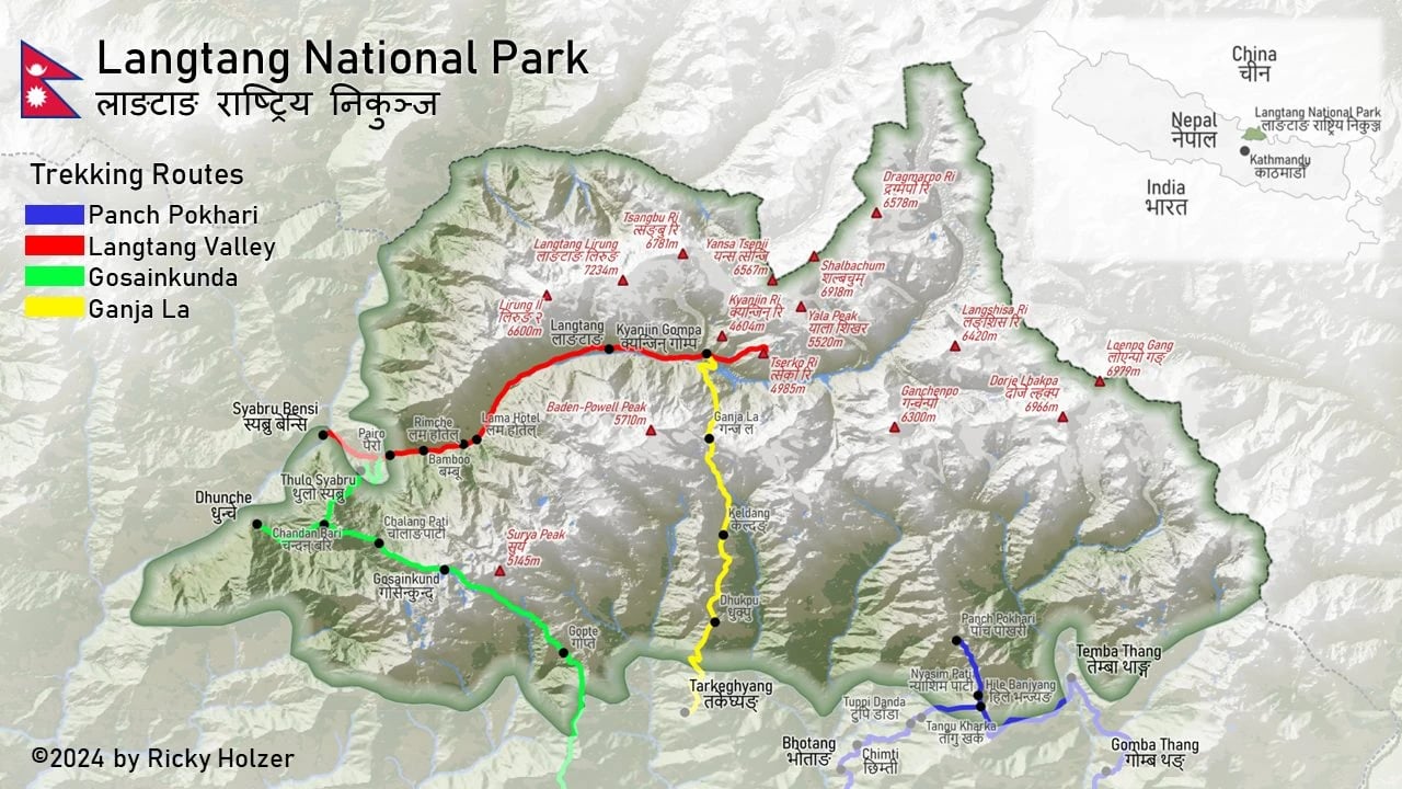
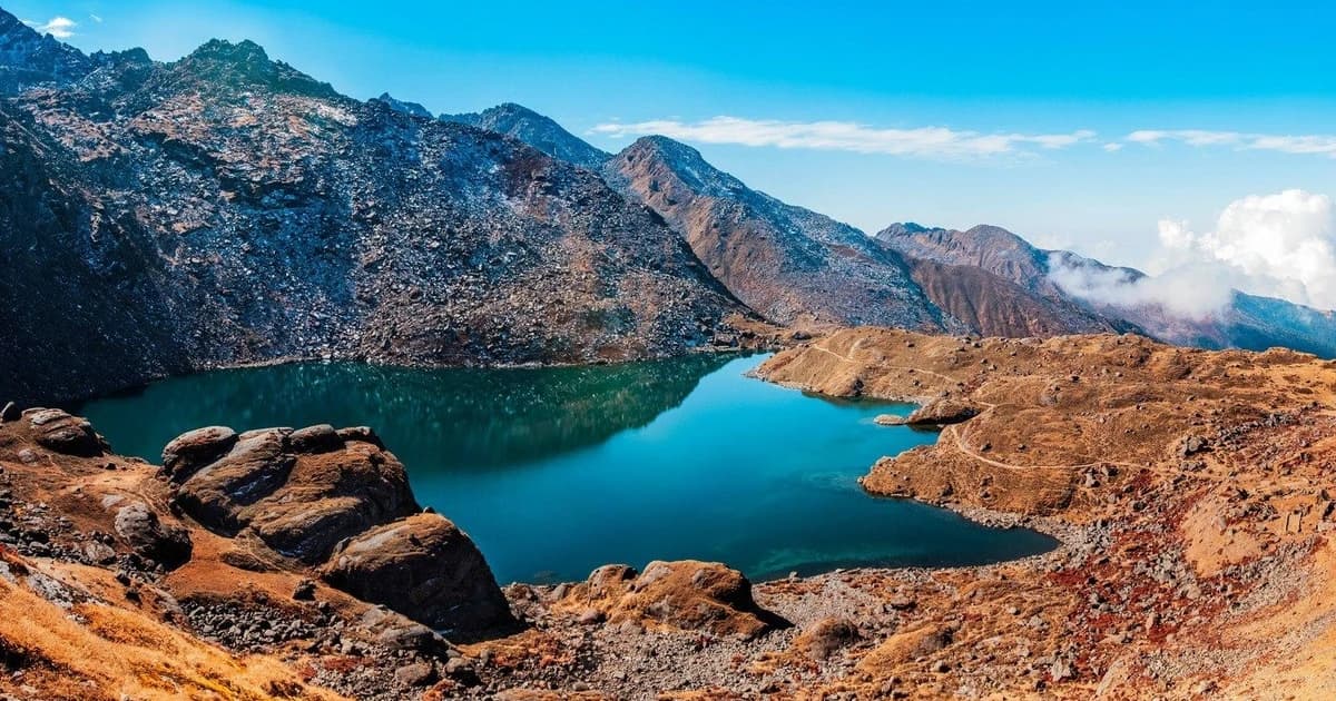
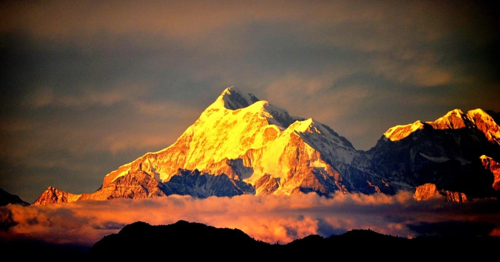
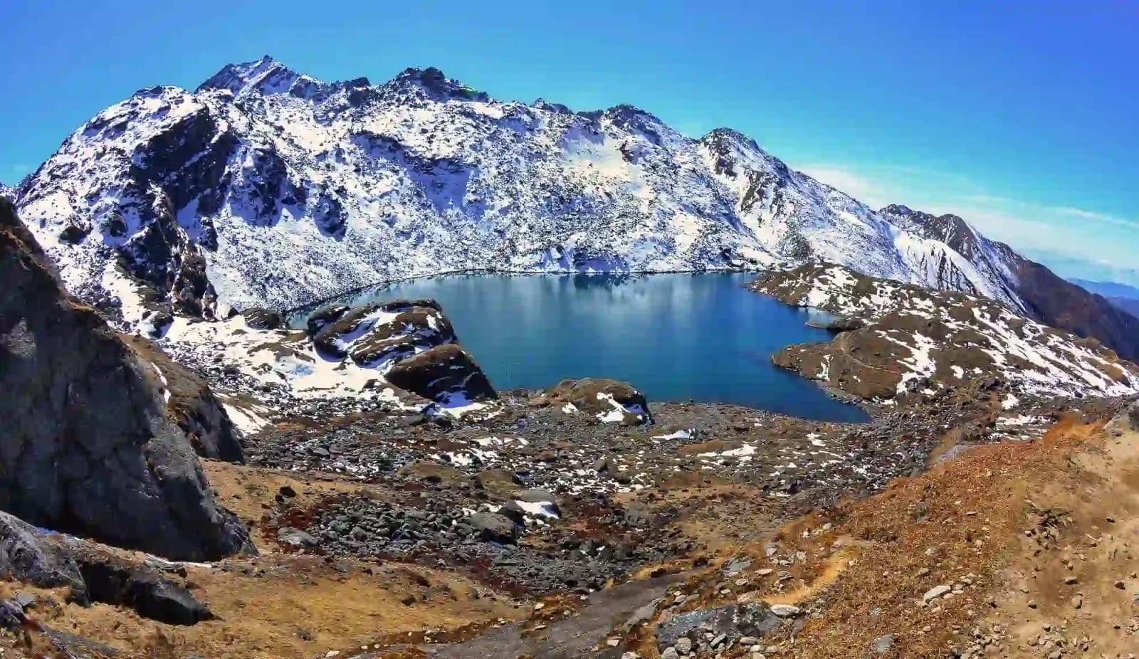
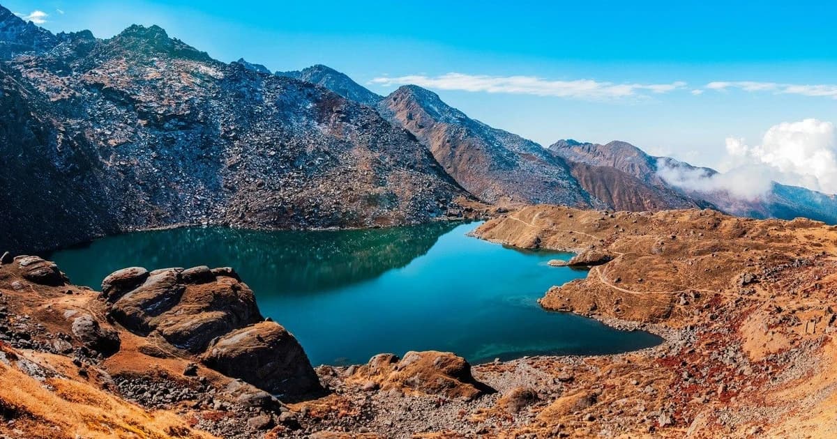
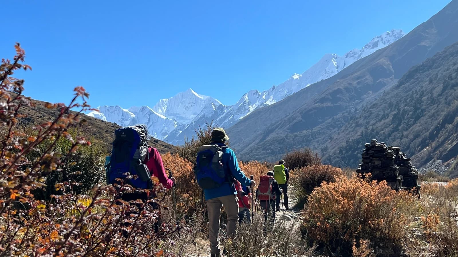
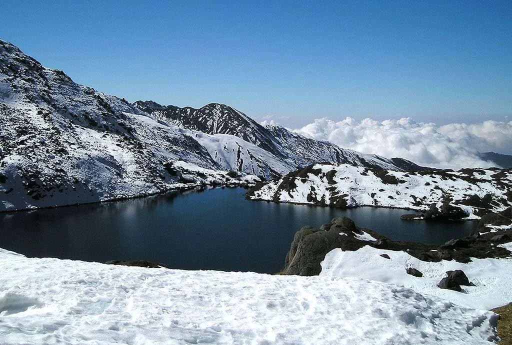
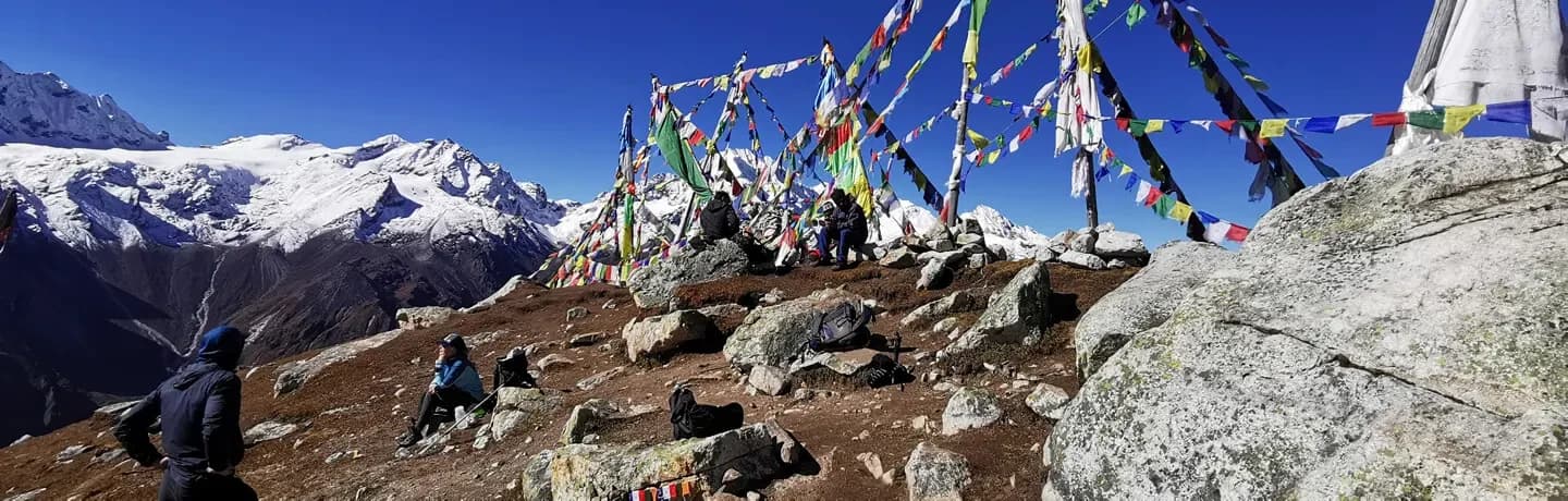
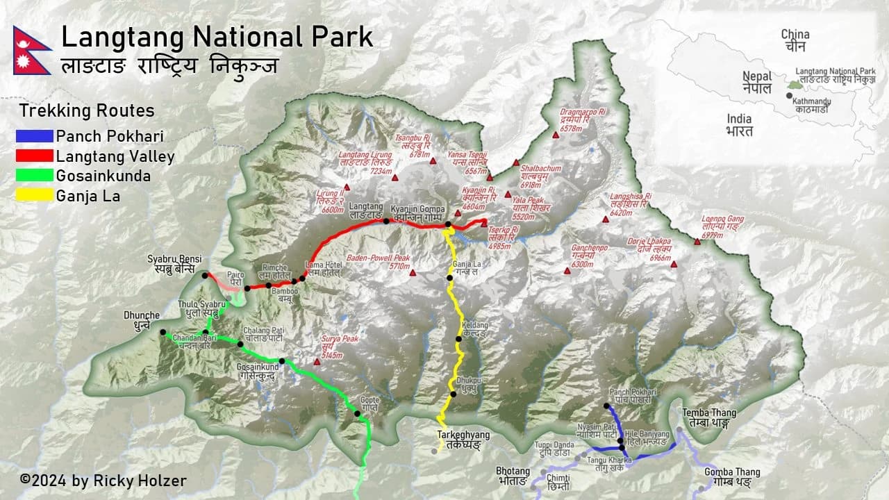
There is a valley in northern Nepal that most people have never heard of, and that's precisely what makes it worth knowing. The Langtang Valley lies just 80 kilometers north of Kathmandu as the crow flies, pressed against the Tibetan border, sheltered on three sides by peaks above 6,000 meters, and almost entirely unknown to the kind of traveler who spends a weekend in a Thamel guest house asking, "Which Himalayan trek should I do?" The obvious answers—Everest Base Camp, Annapurna Circuit—send people to crowded teahouses and expensive domestic flights. Langtang does not ask any of that. You drive in on a mountain road, you walk, you sleep in lodges run by families who rebuilt them with their own hands after the 2015 earthquake, and you end up beneath one of the most dramatic glacier-and-icefall views in the Himalayas without ever needing a crampon or a flight reservation. This is a 10-day, moderate-difficulty, teahouse trek that starts and ends in Kathmandu. It reaches 3,870 meters at Kyanjin Gompa—the highest overnight point—with optional day hikes to Kyanjin Ri (4,773 m) or Tserko Ri (5,033 m). It runs through Langtang National Park, a protected area of 1,710 square kilometers covering subtropical river gorges, temperate rhododendron forest, alpine meadow, yak pasture, and glacial moraine. The trail is well-marked, teahouses are spaced at appropriate intervals, and no technical climbing is required at any point. It is a trek that rewards people who want a genuine mountain experience—not a queue at Base Camp, not a selfie destination—and it does so with fewer trekkers, lower permit costs, and no domestic flight dependency.
At a Glance | |
|---|---|
Trek Name | Langtang Valley Trek |
Duration | 10 days (8 trekking + 2 drive days) |
Trek Grade | Moderate — suitable for fit beginners |
Highest Overnight Altitude | 3,870 m — Kyanjin Gompa |
Maximum Day-hike Altitude | 5,033 m — Tserko Ri (optional) |
Total Trekking Distance | approx. 65 km one-way (130 km return) |
Daily Walking Time | 4–7 hours |
Start / End | Kathmandu (Tribhuvan International Airport) |
Trailhead | Syabrubesi, 122 km / 7–8 hrs drive from Kathmandu |
Trek Style | Teahouse (all meals and beds in lodges) |
Group Size | 1–16 pax (private & join-in options) |
Accommodation on Trek | Family-run teahouses and mountain lodges |
Accommodation in Kathmandu | Mid-range hotel (breakfast included) |
Trek Region | Langtang National Park, Bagmati Province, Nepal |
Borders | Tibet (China) to the north |
Guide Requirement | Mandatory (enforced by Nepal law since April 2023) |
Permits Required | Langtang National Park Permit + TIMS Card |
Best Seasons | March–May (Spring) and October–November (Autumn) |
Peak Season Months | October, November, April |
Currency | Nepalese Rupee (NPR). USD widely accepted on trail |
Starting Price | USD 379 per person (group of 13–16) |
Why Langtang Valley—and Why This Package: What Separates Langtang from Everest and Annapurna?
Most Himalayan trek marketing sells a single thing: altitude. The higher the number, the more it costs, and the more trekkers assume it delivers. What it rarely discloses is what altitude costs at the logistical level—cancellation-prone domestic flights, five-star lodge prices at Base Camp (two weeks minimum), and a trail so heavily trafficked in October that finding a solo moment in the landscape is nearly impossible.
Langtang trades none of that. The numbers tell a different story:
No domestic flight needed. The single biggest unreliability factor on Everest- and Pokhara-based treks is removed entirely. You drive. The road is mountain-rough but reliable, and the drive itself is spectacular.
Closer to Kathmandu than any major trek. 122 km versus 300+ km for most Annapurna and Everest approaches. A weather delay on the return is a one-day issue, not a multi-day crisis.
A fraction of the foot traffic. Langtang sees roughly one-tenth the trekking volume of Everest Base Camp. Lodges are quieter, trails are emptier, and the experience of actually being in the mountains—rather than in a procession through them—is far more present.
Genuine glacier and high-peak views from your doorstep. Langtang Lirung (7,234 m) and its icefall hang directly over Kyanjin Gompa. You don't need to climb to a viewpoint to see it; you see it through the dining room window while you eat breakfast.
A living culture, not a tourist backdrop. The Tamang people of the Langtang Valley are the original inhabitants, not a tourism product. Their monasteries, mani walls, chortens, prayer flags, and yak-cheese factory have been here for centuries.
A story that matters. Langtang Village was buried by an avalanche triggered by the April 2015 earthquake. The community rebuilt it stone by stone. Your trek fee goes directly to the families running those lodges. That is not a marketing claim — it is the economic structure of the valley.
Trek Highlights
Standing beneath the Langtang Lirung icefall (7,234 m) from Kyanjin Gompa, watching seracs calve onto the glacier in morning light
Hiking Kyanjin Ri (4,773 m) or Tserko Ri (5,033 m) for a 360° panorama covering Dorje Lakpa (6,990 m), Yala Peak (5,520 m), and the full breadth of the Langtang valley
Walking through rhododendron forest in full spring bloom—red, pink, and white canopies from 2,000 m up to 3,000 m (March–April departures)
The world's most efficient breakfast: watching the sun hit Langtang Lirung from the dining room of your teahouse at Kyanjin Gompa before the day has properly started
A visit to the Kyanjin Gompa yak cheese factory—a Swiss-aid-built cooperative from the 1950s, still operating and still producing an aged mountain cheese that does not taste like any other cheese you have eaten
Moving through a forest where red pandas, Himalayan tahr, langur monkeys, Himalayan monal pheasant, and over 250 recorded bird species all live, watched by guides who know what to look for and where
The rebuilt villages of Langtang and Ghoda Tabela—rebuilt not for tourists, but by a community that decided to stay and has welcomed trekkers back ever since
No domestic flight, no queue, no altitude record to break—just a trail, mountains, and the legitimate feeling of being somewhere real
Best Time to Visit: 12-Month Weather Guide
The following temperature data is for Kyanjin Gompa (3,870 m) — the trek's highest overnight point and the benchmark for conditions on the entire route. Lower villages (Lama Hotel at 2,470 m and Langtang Village at 3,430 m) are approximately 5–10°C warmer at night than the figures below.
Month | Day Temp | Night Temp | Precipitation | Sky Clarity | Trail Status | Recommended |
|---|---|---|---|---|---|---|
January | 2–5°C | −12 to −16°C | Very low (dry) | Excellent | Icy above 3,000 m. Snow may block the trail to Kyanjin Ri / Tserko Ri. | ⭐⭐ Winter specialists only |
February | 4–7°C | −10 to −14°C | Very low | Excellent | Slightly warmer; trails still icy. Quietest month on the trail. | ⭐⭐ Winter specialists only |
March | 8–12°C | −5 to −9°C | Low | Good | Snow clearing from high routes. Rhododendrons begin to bloom at lower elevations. | ⭐⭐⭐ Good |
April | 10–15°C | −2 to −5°C | Low–Moderate | Good to Very Good | Rhododendron bloom peaks (2,000–3,000 m). Stable, comfortable days. | ⭐⭐⭐⭐⭐ Excellent |
May | 12–17°C | 0 to −2°C | Moderate | Moderate | The view is hazy some days. Late-month rain possible. Still very trekable. | ⭐⭐⭐⭐ Very Good |
June | 15–18°C | 3–6°C | High (monsoon starts) | Poor | Heavy rain, leeches at lower elevations, and landslide risk on the Syabrubesi road. | ⭐⭐ Off-season |
July | 15–18°C | 5–7°C | Very High | Poor | Peak monsoon. The trails are muddy and slippery. Road landslide risk is highest. | ⭐ Off-season |
August | 14–17°C | 4–6°C | High | Poor | The monsoon continues. Lush but wet. Valley rarely visible above the teahouse level. | ⭐ Off-season |
September | 12–15°C | 1–4°C | Low–High (tapering) | Improving | The rain stops by the third week. Late September is excellent with fewer trekkers. | ⭐⭐⭐ Good (from 20 Sep) |
October | 8–14°C | −3 to −7°C | Very Low | Outstanding | Post-monsoon clearance: crystal skies, freshly snowcapped peaks, dry trails. Peak month. | ⭐⭐⭐⭐⭐ Best of Year |
November | 5–10°C | −8 to −12°C | Very Low | Outstanding | Even clearer than October. Colder nights require better gear. Fewer trekkers. | ⭐⭐⭐⭐⭐ Excellent |
December | 2–6°C | −10 to −15°C | Very Low | Good | Winter sets in. Snow is likely above 3,000 m from mid-month. Cold but doable. | ⭐⭐ Winter specialists only |
Key Wildlife
Species | Status | Best Chance |
|---|---|---|
Red Panda | Endangered | Bamboo zone, Syabrubesi to Lama Hotel, dusk/dawn |
Snow Leopard | Vulnerable | High alpine zone above 3,800 m; extremely rare |
Himalayan Tahr | Near Threatened | Rocky slopes, Ghoda Tabela to Kyanjin Gompa |
Blue Sheep (Bharal) | Least Concern | High ridges above 3,500 m |
Himalayan Musk Deer | Endangered | Subalpine forest; very shy |
Himalayan Black Bear | Vulnerable | Mid-elevation forest; rarely seen |
Langur Monkey | Least Concern | Lower forest; commonly seen in groups |
Himalayan Monal | Least Concern | Alpine meadow, Kyanjin Gompa area |
Crimson-Horned Pheasant | Endangered | Subalpine forest; early morning |
Himalayan Griffon Vulture | Near Threatened | Thermal soaring over the valley; daily |
The park's recorded wildlife inventory includes 46 mammal species, 345 bird species, 1,043 species of vascular plants (15 of which are endemic to the Langtang region), and 70 butterfly species.